A Winter Forecasters Are Watching Closely
NOAA’s Climate Prediction Center says there is a better than 90 percent chance that El Niño reaches “very strong” status this fall and winter, with a meaningful chance it surpasses every event on record since 1950. One forecaster has said California should expect several strong atmospheric rivers. Southern California is traditionally among the regions most likely to turn wetter and stormier.
There is a caution here, and it is worth stating plainly. The last very strong El Niño, in 2015-16, left Los Angeles with one of its driest years on record, while the monster of 1997-98 delivered more than 31 inches of rain to the city against an average of under 12. Every El Niño writes its own script. The sensible response is not to guess which one we are getting but to plan for the wet one.
What Insurers Are Telling Drivers
Mercury Insurance this week urged drivers to treat parking as part of storm preparation. Its advice begins with the obvious but often ignored: avoid low spots, dips in the roadway and places near drainage channels, especially anywhere you have watched water pool before. A space that is fine on a dry day can look very different in sustained rain.
The company also cautions against parking beneath large trees, since saturated soil and strong wind are a dangerous combination for branches, and against leaving a car directly below steep hillsides or retaining walls where soil, rocks and debris can shift. Familiar spots deserve fresh scrutiny, because clogged storm drains and new construction can change how water moves. Even a garage is not a guarantee: if it sits below street level or has taken on water before, address the drainage first. Mercury’s Stephen Bennett, a senior director of climate science and catastrophe modeling, put the timing simply: the decision belongs “before the storm begins.” Park facing an exit, the company adds, and never wade into rising water to move a car.
The Ocean Is the Bigger Threat
Rain is only half of an El Niño story in Los Angeles County. The other half arrives from the Pacific. Warmer water expands, nudging sea level upward, and the stronger storms of an El Niño winter push bigger waves and higher surge onto the coast. National Weather Service forecasters have noted that communities with narrow beaches are most exposed, though even the wide-beached South Bay is not immune.
For drivers, that makes the coast a different category of risk. Seawater is not simply rainwater with salt in it. Auto experts consistently warn that saltwater is highly corrosive to every kind of vehicle, whether gasoline, hybrid or electric, and that the damage to wiring and electronics can show up quickly and keep surfacing for months. A car left in an oceanfront lot, on a street that runs straight to the sand, or in a low beach-area parking structure during a surge is gambling with the worst kind of water.
The county itself treats beach-area parking as a flood problem. In preparing for the 2015-16 El Niño, Los Angeles County’s Department of Beaches and Harbors cleared and opened the storm drains in two Marina del Rey parking lots ahead of the storms to keep them from flooding.
What Venice Remembers
Few places in the county have a longer memory of El Niño than Venice. During the winter of 1982-83, a sequence of storms beginning in November hammered the coast, and the damage peaked when a January wave event lined up with high tide. According to the City of Los Angeles’ sea level rise assessment of the Venice coastal zone, the surf wrecked sections of the beach bike path and damaged the lifeguard headquarters, and the Municipal Fishing Pier was among the structures battered by wave action. The pier was ordered closed in 1983 after waves tore out its concrete access ramp and cut utility lines.
The following March, the sea came back for the streets. The city’s assessment records that those storms eroded the beach and flooded Washington Boulevard as far as Pacific Avenue. Fred Barthel, who photographed the scene, recalls a storm surge arriving on top of a high tide, with sandbags stacked in front of the houses and condos all the way down to the beach and hundreds of people on the sand filling bags to keep water out of their homes. It happened overnight, he says, and not especially deep, but deep enough to matter to anything parked on those blocks.
In the first few blocks from the water, many apartment buildings flooded. The city’s own assessment explains why: much of the property in Venice was never built to withstand flooding, so even shallow water does outsized damage. Longtime residents still feel uneasy when a big storm approaches.
Other Places That Have Flooded Before
Venice was far from alone. The 1982-83 storms flooded thousands of houses along the coast, destroyed piers and swamped stretches of Pacific Coast Highway, while at the Malibu Colony decks and stairs were torn away and houses flooded. A moderate El Niño in January 1988 pushed surge into a section of the Portofino Hotel inside Redondo Beach’s King Harbor. During the 2015-16 storms, wave run-up in Redondo Beach crossed the bike path and spread across the sand.
Inland, the danger is less about surf than about water finding the lowest ground. The 2015-16 storms flooded parts of the San Fernando Valley deeply enough to swamp cars, and authorities spent days moving people out of low-lying areas along the Los Angeles River and other flood-prone waterways. In February 1998, the wettest month in many Southern California records, canyon communities such as Mint Canyon and Placerita Canyon in the Santa Clarita area were hit by torrents that turned dry creek beds into raging channels in moments.
Burn Scars: Greener Hillsides, Lingering Risk
Some of the hillsides burned in the January 2025 Palisades and Eaton fires have sprouted new growth, but the mud risk has not gone away. Matthew Thomas, a U.S. Geological Survey research hydrologist, has said that regrowth and soil recovery take time, and that a burn area remains a recent one for at least its first year. The trigger can be modest: he put the tipping point for debris flows at about a quarter inch of rain in 15 minutes. It is the intensity of the rain, not the total, that matters, and an El Niño atmospheric river can deliver that in a burst.
The recent past shows what that looks like. In February 2025, heavy rain sent mud down Pasadena Glen Road and onto Altadena streets from the Eaton burn scar, and a debris flow in the Palisades burn zone swept a Los Angeles Fire Department member and his SUV into the Pacific. A county firefighter warned that mud can bury cars. Los Angeles County’s network of debris basins, which catch material before it reaches neighborhoods, is credited with largely preventing worse outcomes. Even so, a car parked at the foot of a burned canyon, along a wash or at the end of a street that drains a scarred slope is in the path.
No public USGS assessment of how much the scars have healed for this winter was available at the time of writing, so drivers should check the county’s current debris-flow evacuation maps and warnings rather than assume the green is protective.
How Little Water It Takes
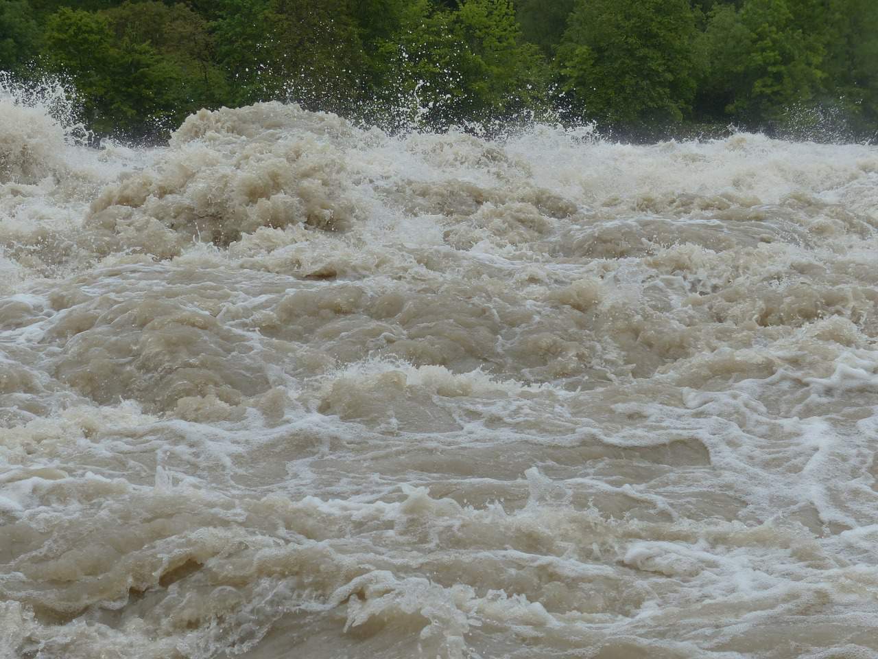
Drivers tend to underestimate moving water. The National Weather Service says six inches of floodwater can cause many passenger cars to lose control and stall, twelve inches of rushing water can carry away a small car, and two feet can sweep away most vehicles, including SUVs and trucks. The Centers for Disease Control and Prevention reports that more than half of flood-related drownings happen when someone drives into hazardous water. That is why the first rule of parking in a storm doubles as a rule of personal safety: if the water is already rising, let the car go.
If Your Car Does Get Wet
Should a vehicle be caught in floodwater, the advice from insurers and consumer agencies is consistent. Do not try to start it, because running an engine that has taken on water can turn a repairable car into a total loss. Photograph the vehicle and the water line before touching anything, and call the insurer. Saltwater calls for particular urgency, and electric vehicles deserve extra caution after any flood; several caught fire in the aftermath of Hurricane Idalia once the water receded. AAA notes that insurers often total flooded cars even when the damage is not visible, because so many systems are computer-controlled. If the car does survive, rinsing it with fresh water promptly helps limit corrosion. Mercury also reminds drivers that comprehensive coverage generally covers flooding and storm damage, subject to the policy’s terms and deductible, so it is worth confirming what yours includes before the first storm rather than after.
Make the Decision Before the Rain Starts
The practical plan is not complicated. Look at the elevation and drainage around the places you park, at home and at work. Identify a backup that is higher, away from big trees and hillsides, and as far from the ocean as you can manage. On the coast, check the tide tables along with the rain forecast, since the worst flooding often arrives when storm surge and high tide coincide. Then, when the forecast turns, move the car early.